Hello,
I am looking at doing some city level analysis and I understand that creating a grouping of zip codes to approximate a city boundary is the preferred way of going about this. However, the zip codes in my region are challenging because they are shared with neighboring cities.
Any thoughts on the best methodologies on how to choose which zips should be sorted with a certain city, but not the other?
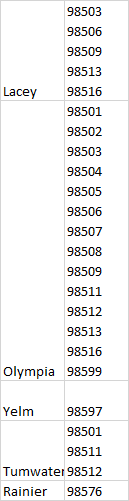
Below are the zips in question: You'll note there is crossover between cities.
Thanks,
Comments
2 comments